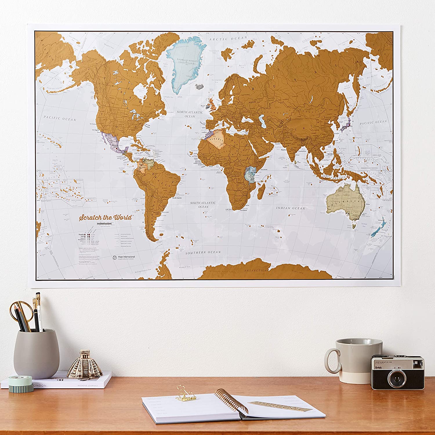
The Cartographic Detail World Map with States + USA Scratch Poster is a unique and interactive way to track your travels. This product combines two maps: a world map and a detailed map of the USA, both designed with meticulous attention to detail.
At the heart of this product is the cartographic expertise of Maps International, a company with over 50 years of experience in map-making. Their team, based in Minnesota and the UK, has crafted these maps with a commitment to accuracy and visual appeal.
The world map measures 17 x 22 inches, while the USA map is slightly smaller at 11 x 17 inches. Both maps feature vibrant colors, clearly defined country and state boundaries, and detailed topographical elements such as hill shading and city locations. The scratch-off design allows you to reveal the colorful political map underneath as you explore new destinations.
One of the standout features of this product is its potential as a travel gift. Whether you’re looking for a way to encourage a young explorer or to commemorate the adventures of a seasoned traveler, the scratch-off world map and USA map offer an engaging and visually appealing solution.
Maps International takes great care in ensuring that each product arrives in pristine condition. Your maps are carefully rolled into a tube by their specialist team in Minnesota, ensuring a crease-free delivery and a map that’s ready for display upon arrival.
With a philosophy centered on “cartographic excellence,” Maps International combines intricate detail, thoughtful design, and high-quality finishes to create a range of stunning wall maps suitable for various moods and home decor styles. This Cartographic Detail World Map with States + USA Scratch Poster is a testament to their commitment to excellence in map-making.
One of the largest Scratch Off Map of the World Poster’s you will find, measuring 33 (w) x 23 (h) inches – the huge world map has outlines on the gold coating and details on the map underneath. Updated in 2019, the best mapping detail you will find for scratch map world poster. Featuring countries in different colors and their boundaries, cities, hill shading, the highest mountains, rivers, bathymetry and state outlines on scratch coating and mapping underneath.

